Route 66 – day #9 – from Gallup, NM to Williams, AZ
Translation of the original in Catalan. Read it in: CatalàCastellano
Part 9 of 19Route 66
- Route 66 - day #1 - from Barcelona to Chicago (IL)
- Route 66 - day #2 - Chicago
- Route 66 – day #3 – from Oakbrook Terrace,IL to Staunton,IL
- Route 66 – day #4 – from Staunton,IL to Carthage, MO
- Route 66 – day #5 – from Carthage, MO to Oklahoma City, OK
- Route 66 – day #6 – from Oklahoma City, OK to Amarillo, TX
- Route 66 – day #7 – from Amarillo, TX to Santa Fe, NM
- Route 66 – day #8 – from Santa Fe, NM to Gallup, NM
- Route 66 – day #9 – from Gallup, NM to Williams, AZ
- Route 66 – day #10 - Grand Canyon of the Colorado National Park, Arizona
- Route 66 – day #11 – from Williams, Arizona to Las Vegas, Nevada
- Route 66 – day #12 – Las Vegas, Nevada
- Route 66 – day #13 – from Las Vegas, Nevada to Barstow, California
- Route 66 – day #14 – from Barstow, California to Santa Monica, California
- Route 66 – day #15 – from Santa Monica, California to Morro Bay, California
- Route 66 – day #16 – from Morro Bay, California to Pacific Grove, California
- Route 66 – day #17 – from Pacific Grove, California to San Francisco, California
- Route 66 – day #18 – Silicon Valley, California
- Route 66 – day #19 – from San Francisco, California to Barcelona
New day, new state and a new time change. Right now we're in Williams, in the state of Arizona, where they are one hour behind the state of New Mexico where we were yesterday. It's also worth noting that the rain has kept us company all day today; although it wasn't very heavy rain, it was a constant stopping and starting that got us quite wet.
We spent an important part of the morning driving through
", past
(AZ), which is more or less where you enter the park, and near
(AZ) is where you practically leave the park. So that we understand each other, almost 30 miles of road inside the park. Where the star attractions are petrified tree trunks.
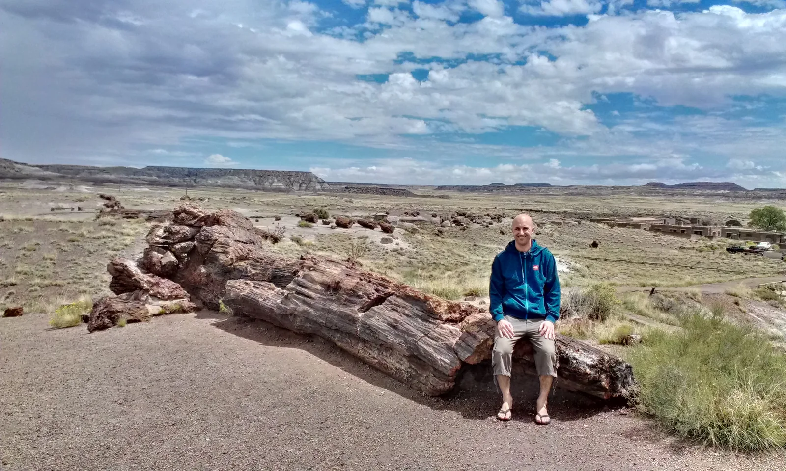
And also some impressive views over the "
". (I'm posting a few photos because it's spectacular)
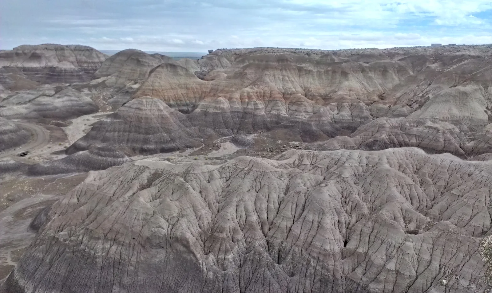
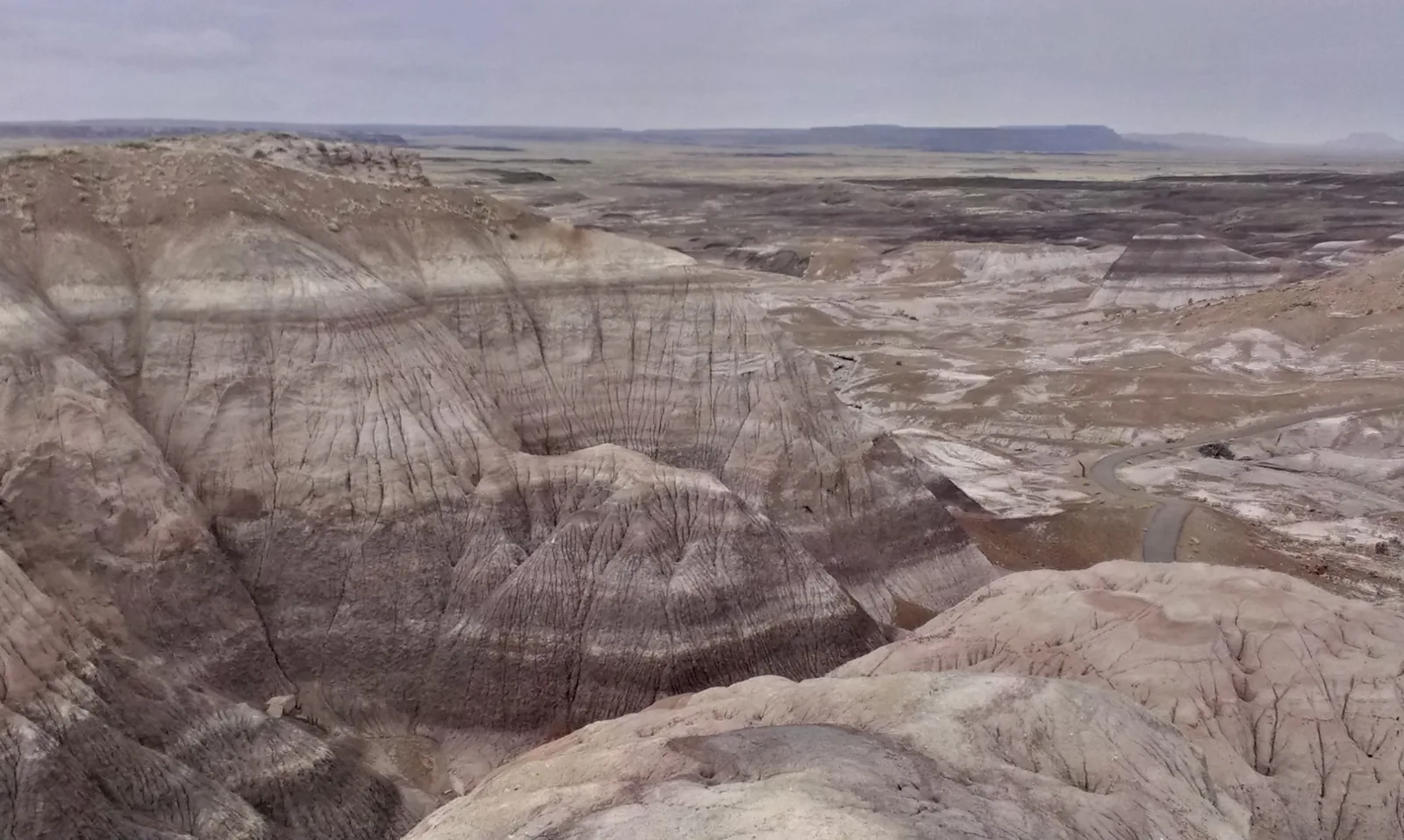
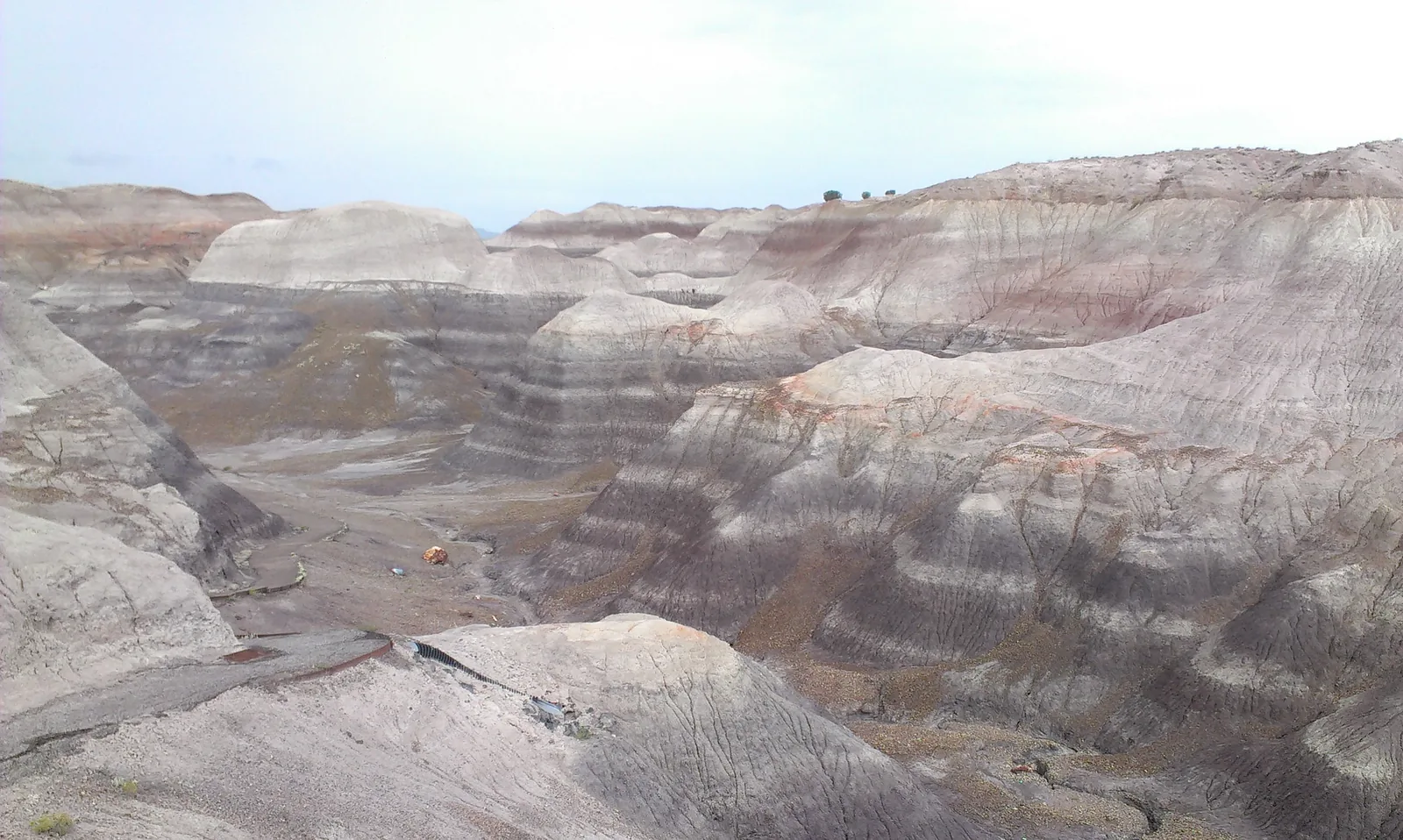
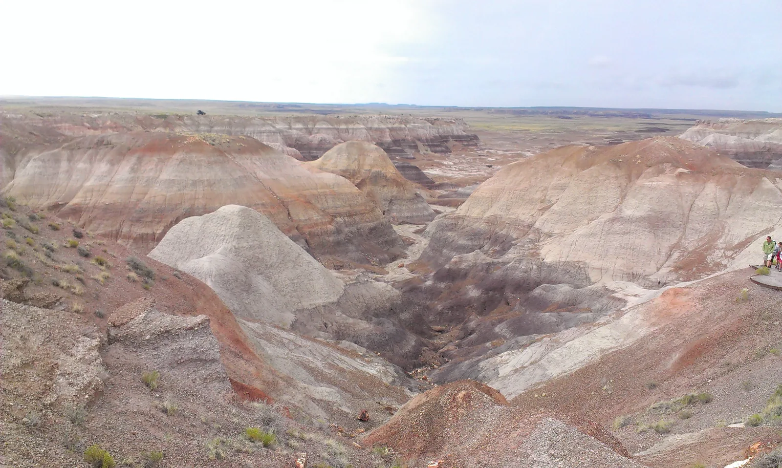
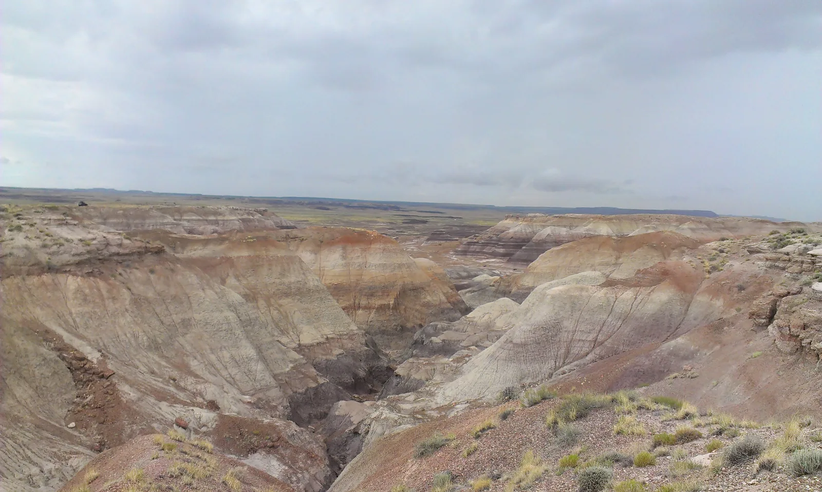
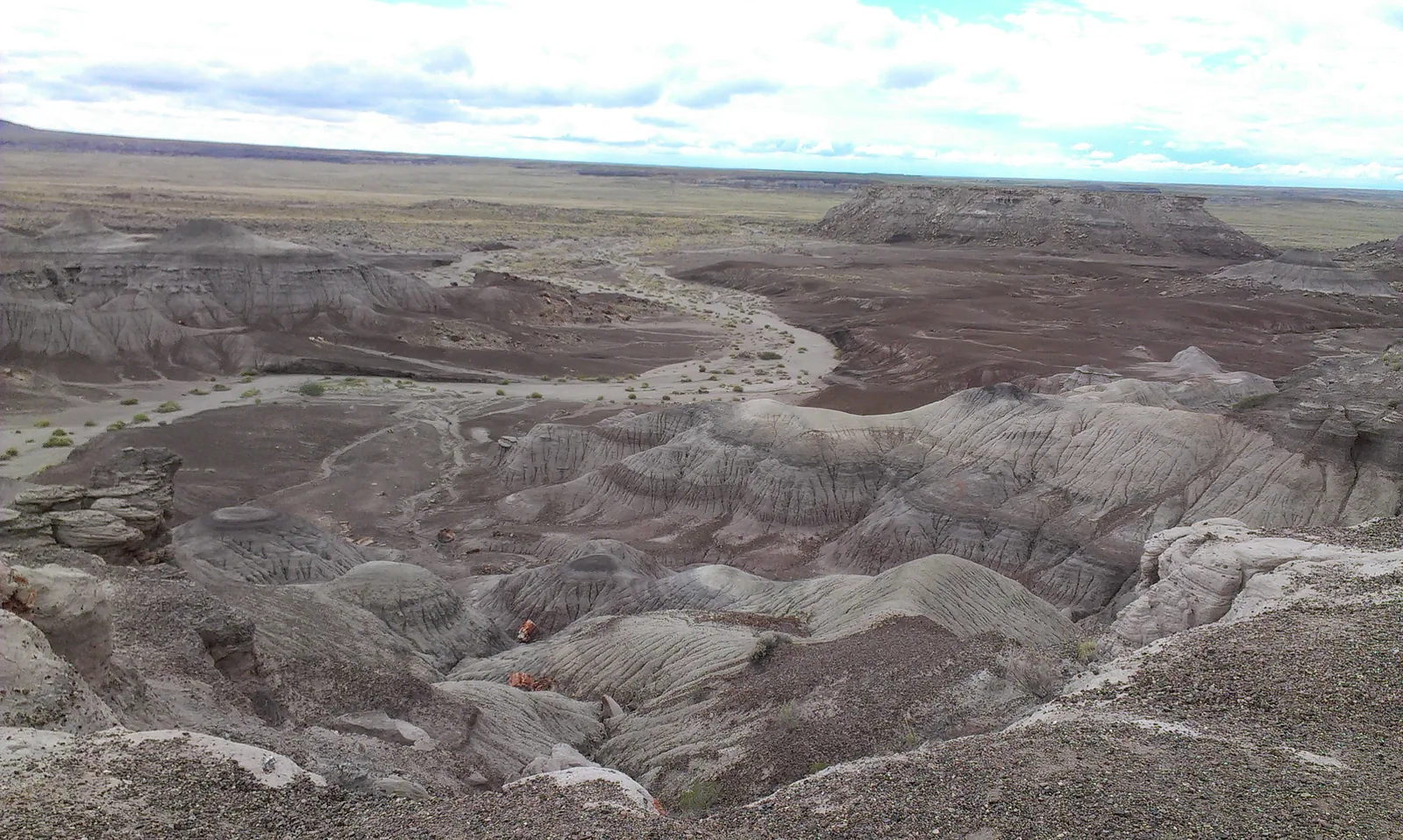
If you ever have to go, it's highly recommendable even to devote more time to it; I'd say at least the whole morning, or the whole day if possible. We still had a lot of road ahead of us, so we settled for a good two hours.
At
(AZ) there are also a couple of interesting things. One is the
, which as you can see is a hotel where the rooms are Indian tents.
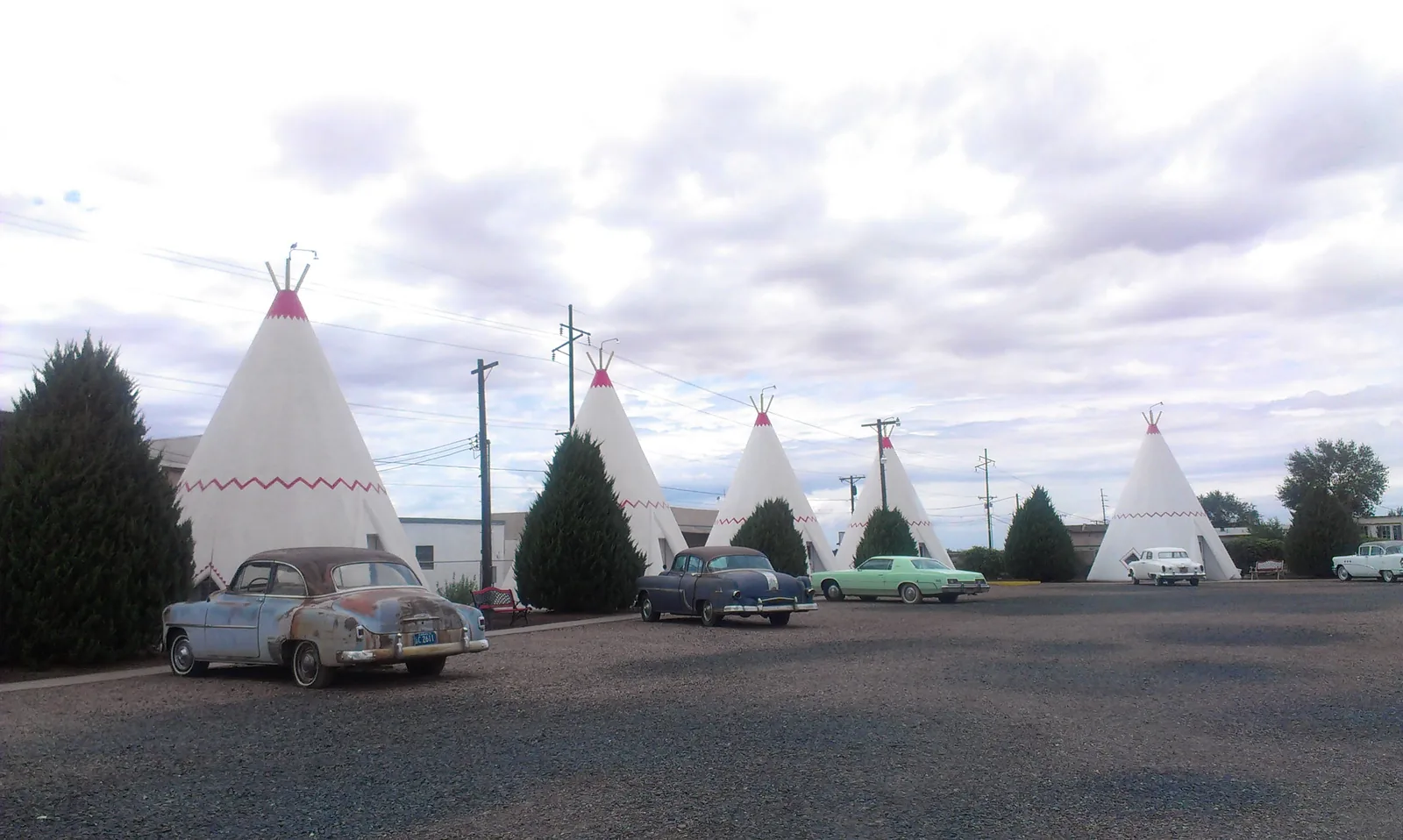
On the other hand there's also the
, highly recommendable for eating a good chunk of meat, at least that's what they say. We settled for taking the photo.
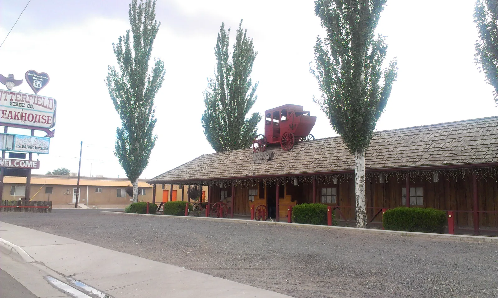
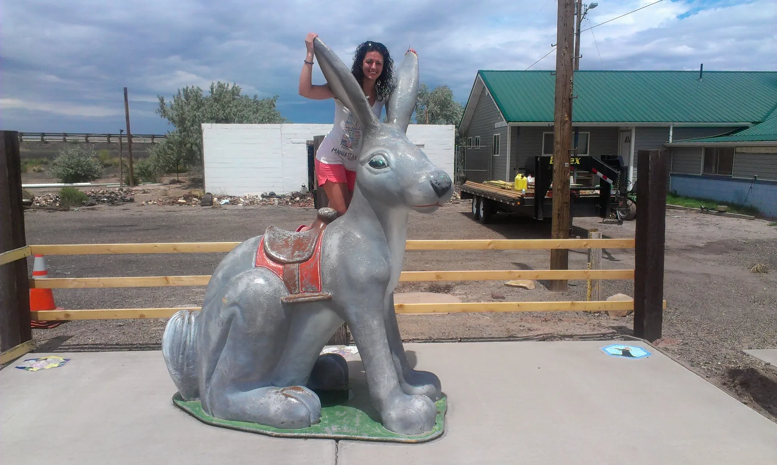
Next stop at
(AZ), where the whole point was to take one of the typical photos of the route. This time with the
which is the mascot of a shop selling souvenirs made by the Indians (
).
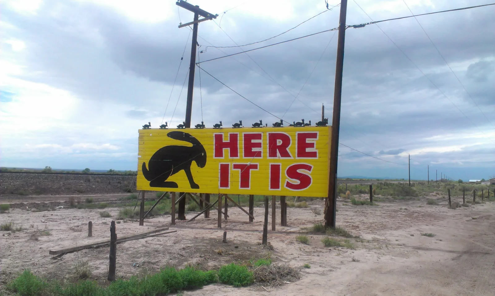
About 22 miles later there's
(AZ), where the typical photo is this Route 66 shield.
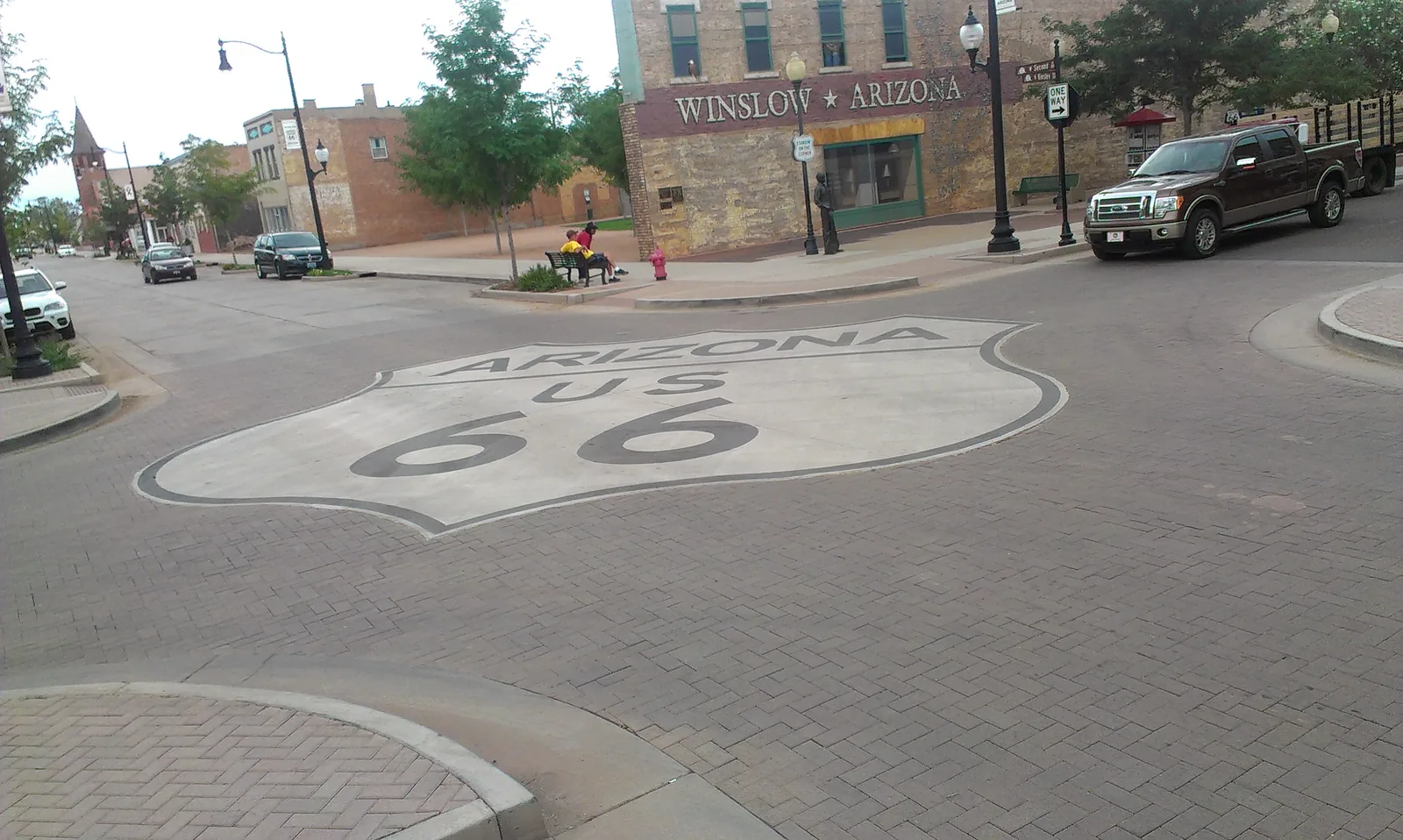
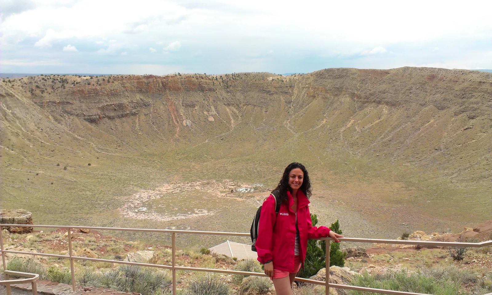
By the way, the town is quite cute. Although the most famous thing is the "
" which is a few miles from the town. It's a crater formed by the impact of a meteorite that fell 50,000 years ago. The photos don't do justice to how big it actually gets to be. Besides, imagining a hole 1.2km wide and 170m deep isn't easy.
Leaving the crater, we headed straight on to
(AZ). Here we'll spend a couple of nights at the "
" because tomorrow we have the visit to the Grand Canyon, to which we'll devote the whole day. Also worth mentioning that the change in landscape is brutal; we've gone from plains where there was practically nothing to immense forests full of very green trees.
Tonight's dinner was at
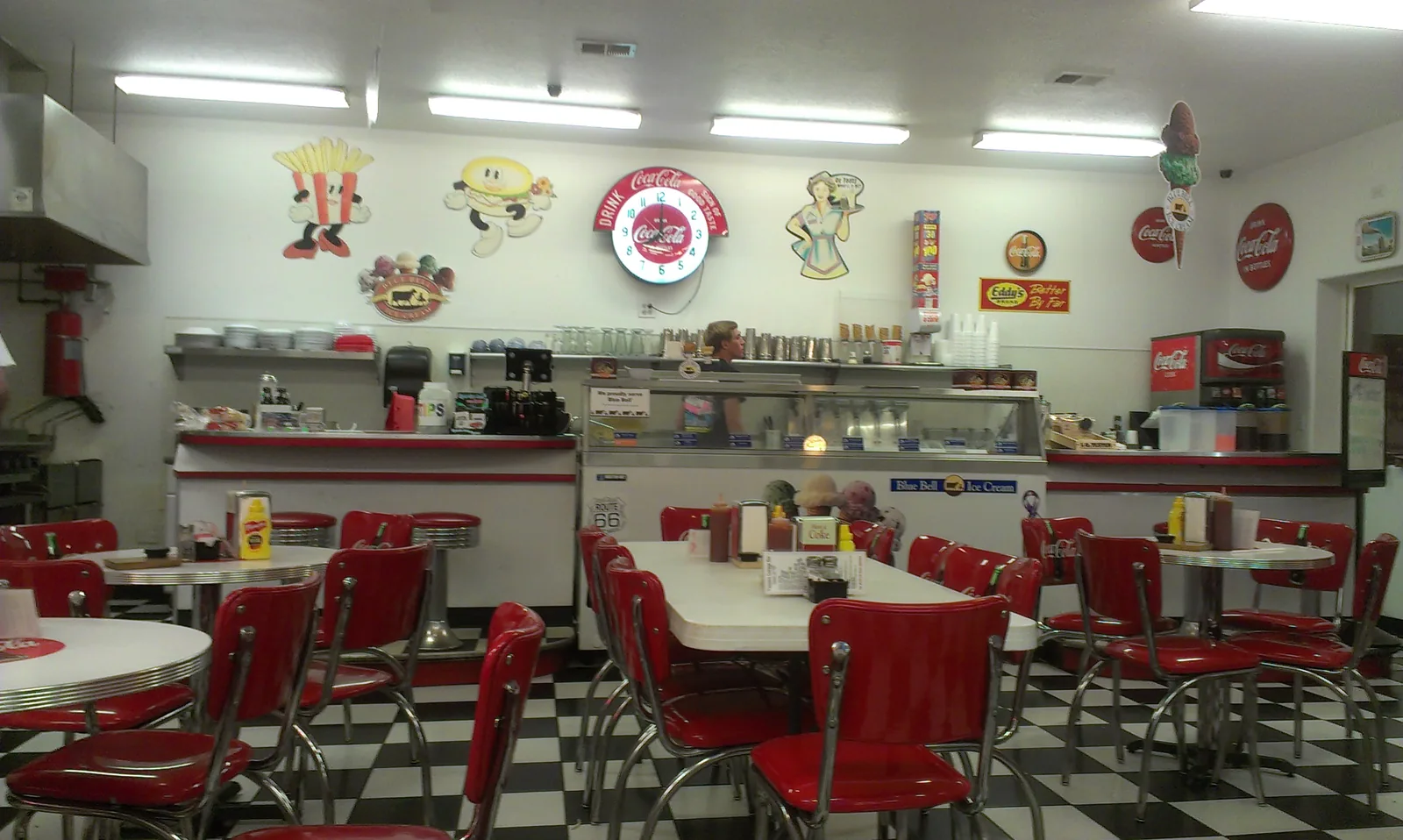
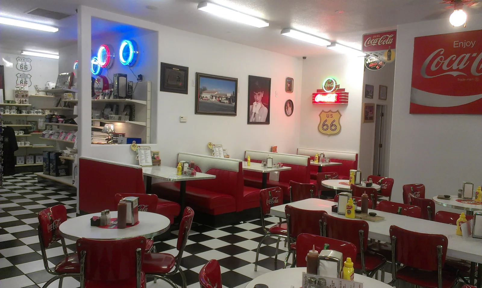
. A totally 1950s dinner, really good and with great atmosphere.